Geophysical Services

Fast. Low-Cost. QP-Approved.

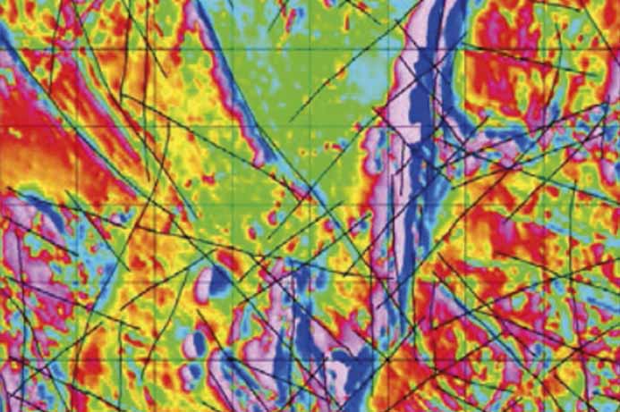
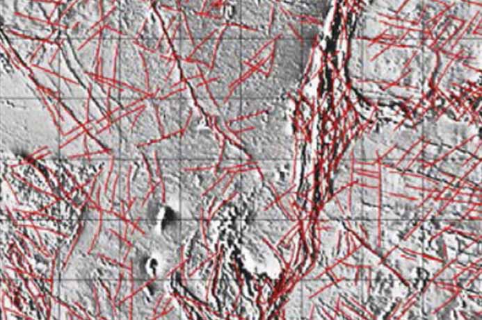
Drone-Based Vector Magnetic Surveys

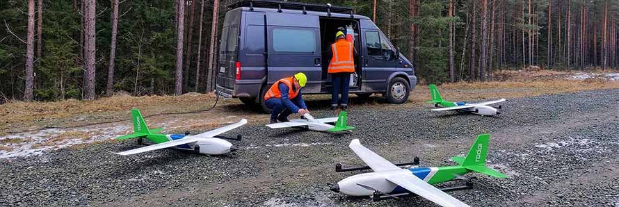
Deploy Fixed-Wing Swarms

Fly up to 1,500 line-kilometers per day efficiently.

Capture High Resolution Data

Flying low and tight lines generates incredibly detailed structural maps.

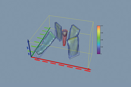
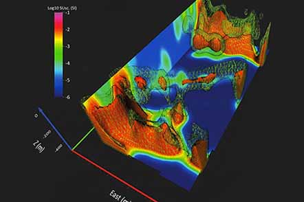
Measure XYZ Magnetic Vectors

Measure orthogonal XYZ vectors using advanced fluxgate magnetometers.

Structural Interpretation of Magnetic Data

Map Complex Structures

Precise identification of faults, folds, and lineaments.

Define Drill Targets

Semi-automated detection of structural traps and anomalies.

See Geology History

Clarify the tectonic evolution of your survey area.

3D Inversion of Magnetic Data

3D Subsurface Models

Convert flat magnetic maps into accurate 3D models.

Reduce Model Ambiguity

XYZ vector data drastically reduces mathematical modeling ambiguity.

Isolate Remanent Magnetization

Model remanent magnetization to pinpoint your drill targets.

Drone-Based Electromagnetic Surveys

Profile conductivity

Map subsurface electrical conductivity using frequency domain systems.

Low-noise B-field receivers

Record highly accurate B-field data with minimal noise.

Resolve targets up to 300m

Detect deep geological conductors down to 300 meters.

Electromagnetic Inversion Services

Perform EM Inversions

Process frequency domain data into accurate resistivity models.

Model Subsurface Resistivity

Accurately isolate target conductors within varying host rocks.

Correct Magnetic Susceptibility

Account for magnetic susceptibility to prevent modeling errors.

CONTACT

info@radai.ca