See Beneath the Surface

Advanced 3D Magnetic Inversions

From Maps to Models

A 2D magnetic map is excellent for finding structures, but drill rigs operate in 3D space.

3D inversion is the industry standard method for determining the spatial distribution of magnetic susceptibility in the subsurface. By mathematically modeling the geological bodies responsible for the observed magnetic anomalies, we transform flat survey data into fully realized 3D block models. For exploration teams targeting deep-seated intrusions in the Ring of Fire or complex structural corridors in the Canadian Shield, a robust 3D inversion is the final step before mobilizing a drill rig.

The Vector Advantage

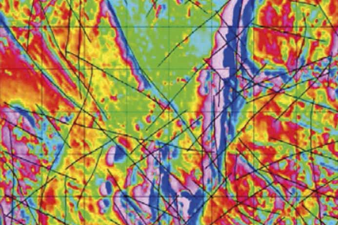
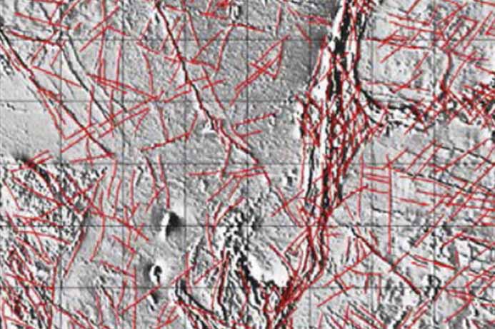
Traditionally, magnetic inversions are calculated using only the Total Magnetic Intensity (TMI). While useful, TMI inversions often suffer from non-uniqueness—meaning multiple different 3D shapes could theoretically produce the same 2D magnetic anomaly.

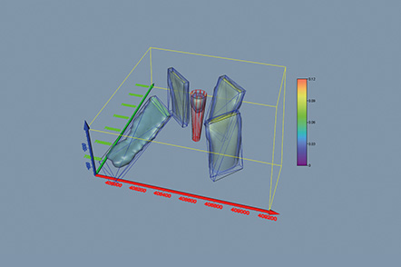
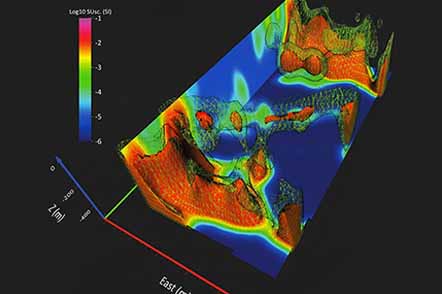
Radai solves this by using Vector Magnetic Data

Because our drone systems measure the individual X, Y, and Z components of the magnetic field, we feed our inversion algorithms three times more information than standard surveys.

Reduced Ambiguity

Constraining the inversion with vector data reduces mathematical ambiguity, yielding a highly realistic picture of subsurface structures.

Sharper Geometry

Utilizing all three XYZ components provides precise directional gradients, yielding tighter, better-defined edges for modeled geological bodies.

Overcoming Remanent Magnetization

One of the biggest challenges in magnetic interpretation is remanent magnetization—where the rock retains a permanent magnetic field that is not aligned with the Earth's current field. This can completely distort standard TMI inversions, causing them to place targets in the wrong location or at the wrong depth.

Using all three XYZ components in our 3D inversion makes it significantly easier to identify, isolate, and model remanent magnetization. This ensures your drill holes are targeting the actual geological body, not a phantom anomaly.

Ready for the Rig

We provide comprehensive 3D inversion models designed to integrate directly into your existing project database. Deliverables are customized to your workflow.

3D Voxel Models

High-resolution block models of magnetic susceptibility (Geosoft .geosoft_voxel or standard ASCII XYZ formats).

Iso-Surfaces / 3D Shells

DXF or Leapfrog-ready structural shells highlighting specific susceptibility thresholds to represent distinct lithological units.

Cross-Sections

Extracted 2D profiles through key anomalies to assist with drill hole planning.

Technical Reporting

A detailed summary of the inversion parameters, data constraints, and geological confidence levels.

Drone-Based Vector Magnetic Surveys

  • Deploy Fixed-Wing Swarms
  • Capture High Resolution Data
  • Measure XYZ Magnetic Vectors

Structural Interpretation of Magnetic Data

  • Map Complex Structures
  • Define Drill Targets
  • Reveal Geological History

Ready to build a 3D target?

Stop guessing at depth and dip. Let Radai build a mathematically robust 3D model of your magnetic anomalies so you can drill with confidence.

CONTACT

info@radai.ca